Pollution Tracker: A Journey to Prince Rupert
As the Ocean Wise Pollution Tracker team gears up for Phase 4 of our field sampling, here’s a look behind the scenes of our Phase 3 sampling research in Prince Rupert last year.
Have you ever wondered what kinds of contaminants are lurking in the waters of British Columbia? How they affect marine life and coastal communities? These are some of the questions that Ocean Wise’s Pollution Tracker program aims to answer. Pollution Tracker is a contaminant monitoring program that spans the BC coastline and is the first of its kind in Canada. Along with various partner communities, we collect sediment and mussel samples approximately every three years across more than 70 sites, analyzing the samples for hundreds of contaminants.
In this blog, we’re taking you on a journey to Prince Rupert, where our Research Scientist, Stephanie Braig and Ocean Pathways Participant, Julia Keeping collected samples from seven sites around Prince Rupert and the surrounding coastal area.

A Day in the Life of a Pollution Tracker
What does a typical day of field work look like for Pollution Tracker? Well, it involves a lot of rain gear, a lot of mud, and a lot of mussels!
Sediment Sampling
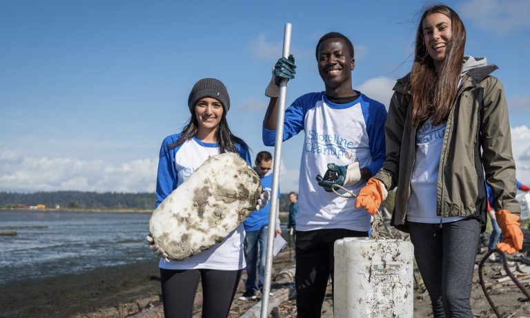
We met the Port of Prince Rupert Authority crew at the dock to board a harbour patrol boat. The weather was nice and sunny, and we boarded the boat in good spirits. We reached the first site and lowered the sediment grab (Petit Ponar grab, pictured above) into the water at the designated site. This device is used to collect a sample of the bottom sediment where many contaminants tend to accumulate. A few attempts at retrieving sediment uncovered some treasures of the harbour. To our surprise, we pulled up several beer bottles and a few clothing items, but no sediment.
After what seemed like hundreds of empty grabs, we finally collected enough sediment to fill our stainless steel bowl with enough sediment to start mixing what looked like a mudpie. This part is always satisfying, because after many hours of work pulling up the heavy sampler you get the reward of playing in the mud – how’s that for real science! All this sediment is then transferred carefully into 10 individual sample jars that are all labelled for their specific analysis and labs to be sent to. Once this is complete, the sample jars are put into a cooler with ice packs to keep them cool, ensuring the samples remain preserved for accurate analysis by the laboratories. Then, we move on to the next site of the day.

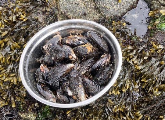
Mussel Sampling
After collecting our sediment samples, we do a quick scan of each site to see if there is an opportunity to collect any mussels. Mussels are filter feeders, which means they take in water and filter out particles, including contaminants. By analyzing the tissue of the mussels, we can get an idea of what kinds of contaminants are present in the water column. At one of the sites, we discovered a dock that was full of mussels. This part requires some acrobatics to reach the elusive mussels on the underside of the dock. It can be tricky to pry these creatures off their perch, but it is worth the information we get that will help keep their environment safe in the long run.
Once enough mussels are collected to fill about four Ziploc bags, the sites are considered done. Every detail, right down to the weather, the clothing that could potentially contaminate our samples, and the names of the people that help us on these trips, is recorded.

Why Do We Do This?
You might be wondering why we go through all this trouble to collect sediment and mussels from different sites. What do we hope to learn from these samples? How will this information benefit the marine environment and the communities that rely on it?
The answer is that we want to understand the sources, pathways, and effects of contaminants in the BC coastal waters. By analyzing the samples for hundreds of contaminants, like metals, pesticides, pharmaceuticals, microplastics and more, we can get a snapshot of the pollution status of each site. We can also compare the results over time and across sites, to see how the pollution levels change and vary over the years. This can help us identify the hotspots of contamination, the emerging contaminants of concern, and the potential impacts on marine life and human health.
We also want to share this information with the public, the decision-makers, to raise awareness and inspire action. Our goal is to empower communities to take charge of their own environment, to protect it and to restore it. We want to collaborate with the First Nations, industry, and the government, to find solutions and contribute to the global efforts to reduce marine pollution and conserve our ocean.

Notes from an Ocean Pathways Participant
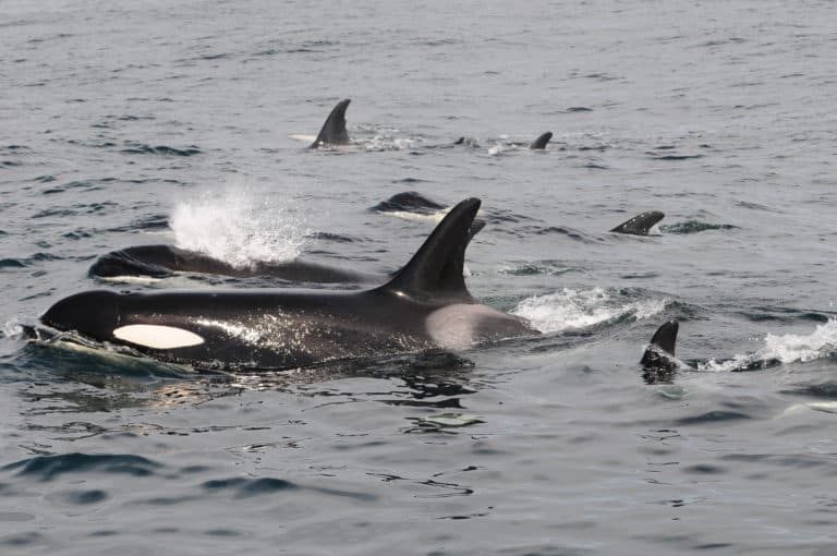
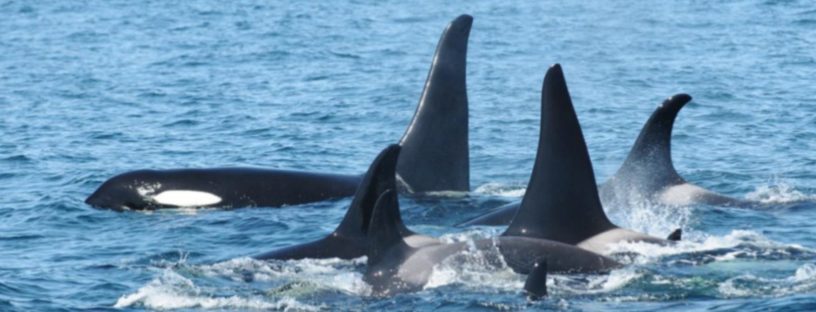
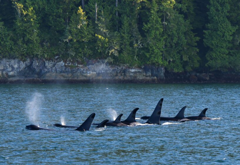
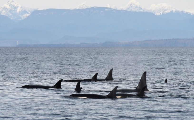
“Thanks to the Ocean Pathways program, I could not have been more excited to have the opportunity to spend time with Pollution Tracker on the water! I am originally from Newfoundland and Labrador, therefore conducting marine-based field work on an entirely different coast on the other side of the country for the first time provided not only a great technical learning experience but was genuinely quite fun. I am fascinated with invertebrates, so getting to see different mussels, clams and sea anemones on sampling days was a big highlight for me. There were even a couple whale sightings as well! As are most experiences with marine field work, it can be tough sometimes. I will not lie, I broke a sweat hauling the Petit Ponar grab and it was tough getting consistently rained on! But the great conversations between sites (and snacks) made for excellent days on the water.” – Julia Keeping

Thanks to our Funders and Partners
Fisheries and Oceans Canada, National Contaminant Advisory Group and Habitat Stewardship Program; Ocean Wise’s Pollution Tracker Program partners (Funders: Association of Denman Island Marine Stewards, Capital Regional District (Victoria BC), Metro Vancouver, Metlakatla First Nation, Neptune Terminals, Port of Prince Rupert, Tsleil-Waututh Nation, and Vancouver Fraser Port Authority; In-kind supporters: Bamfield Marine Sciences Centre, Comox Valley Project Watershed Society, Marine Planning Program of the Council of the Haida Nation, Heiltsuk Integrated Resource and Management Department, K’ómoks First Nation, Lax Kw’alaams Fisheries Biologist and Technicians, Musqueam Indian Band, Nuu-chah-nulth Tribal Council, Saturna Island Marine Research and Education Society, Tlowitsis Guardian Watchmen, Tsawwassen First Nation, and Pender Harbour Ocean Discovery Station.
Posted September 26, 2024 by Cayley Elcombe