How Climate Models Can Help Us Protect Coastal Kelp Forests
Written by Julia Mayer
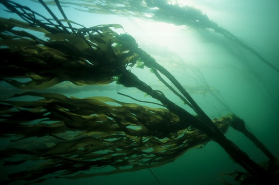
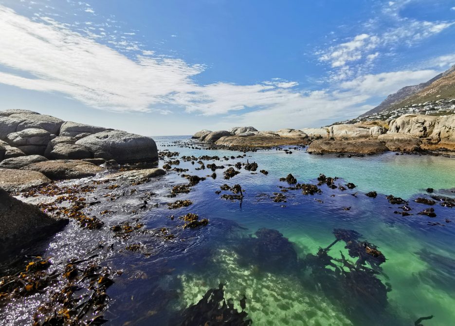
Kelp forests play a vital role in coastal communities. They protect shorelines by dampening wave energy, reduce coastal erosion, and are a source of traditional foods and medicines for Indigenous communities. Culturally, kelp is woven into local practices, knowledge, and stories, representing generations of stewardship and connection to place.
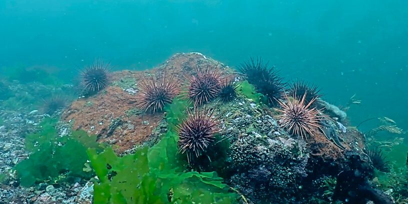
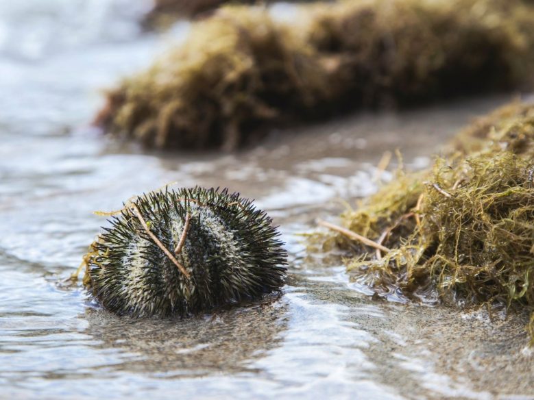
But these underwater forests are vulnerable. Rising ocean temperatures, shifts in currents, pollution, and overgrazing from sea urchins means that some kelp species are already disappearing from their historical locations. If kelp forests were to vanish, the consequences could ripple throughout the ecosystem: juvenile fish would lose essential nurseries, predator-prey relationships would be disrupted, and invertebrate populations could collapse. The loss of kelp would also mean the erosion of centuries-old cultural knowledge and practices tied to these coastal ecosystems.
Understanding where kelp grows, and where it is most likely to persist in the future, is therefore crucial for both ecological and cultural resilience.
Mapping Where Kelp Grows Today to Model the Future
Ocean Wise, the University of British Columbia, and the University of Victoria have partnered on a joint PhD project, led by PhD candidate Julia Mayer focused on mapping kelp habitats and predicting how they might change over time.
Julia began the research by sifting through thousands of records of kelp occurrences, from scientific surveys to observations by citizen scientists. This data helped her understand where different kelp species grow today and the environmental conditions they prefer, such as water temperature, nutrient levels, type of ocean floor, and water clarity.
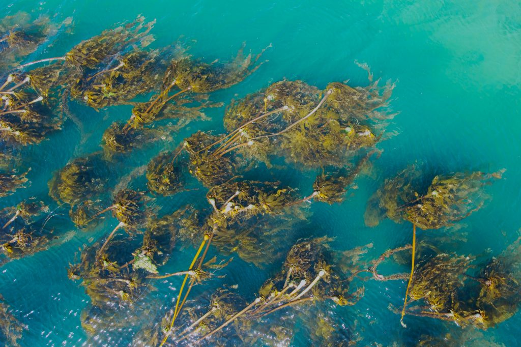
For example, bull kelp (Nereocystis luetkeana) lines much of British Columbia’s coastline, forming a foundation for nearshore ecosystems. By combining literature descriptions with verified observations from sources like OBIS (Ocean Biogeographic Information System), Julia is creating accurate maps showing where these forests exist today.
Once she better understood the environmental conditions each kelp species prefers, Julia used high-resolution mathematical modelling to predict where these conditions might exist in the future. To reduce the uncertainty and bias of such a prediction, she combined up to ten different modelling algorithms to obtain more robust and reliable predictions of where environmental conditions are suitable for kelp in the future as our ocean changes.
“By comparing present and future maps, we can see how kelp ranges might shift. This helps identify regions where kelp may persist even as conditions change drastically elsewhere,” Julia explained.
Why Mapping Matters
Understanding where kelp can grow is essential for conservation and restoration. We’re on a mission to restore kelp forests across the Pacific coast to boost biodiversity and support local fisheries.
Julia Mayer’s research is helping bridge science and practice, giving kelp forests the best possible chance to thrive in a changing ocean. Her findings will become invaluable as we move forward with our restoration. Allowing us to work in collaboration with our First Nation partners to restore kelp forests in the areas where kelp is most likely to thrive long-term. This ensures that restoration resources have the greatest impact, both ecologically and culturally.
In the next year, Julia will be refining her models and producing a series of maps identifying where various kelp species are most likely to thrive in 5 years, 10 years, even 70 years!
Stay tuned as her work progresses!
Quotes
“Through this joint research led by Julia Mayer at UBC and UVic, we’re gaining a much clearer picture of how kelp forests in British Columbia have changed over time and how they may respond to future climate conditions. This kind of applied, forward-looking science is essential for ensuring that kelp restoration efforts are grounded in the best available evidence and positioned for long-term success.” – Scott Bohachyk
“This research advances our understanding of kelp ecology while providing critical evidence to inform policy and marine planning. It also highlights the value of co-producing knowledge between academic researchers and partners such as Ocean Wise to generate science that is both rigorous and impactful.” – Dr. William Cheung, Professor and Director at the Institute for the Oceans and Fisheries, UBC
“Satellite kelp mapping is vital because, from space, we’ve been observing the pulse of our ocean since the early 1970s. This long-term, large-scale perspective allows us to track kelp forests across vast regions and decades, which, combined with machine learning models, strengthens the science and stewardship needed to protect these extraordinary underwater forests” – Dr. Maycira Costa, Professor of Geography at UVic, B.C. Leadership Chair in Environmental Remote Sensing
Posted July 13, 2026 by Kim Bricker