Pollution Tracker: A Decade of Researching Contaminants in B.C.
How polluted is our ocean? That was the question researchers set out to find the answer to in 2015 when Ocean Wise launched Pollution Tracker.
Over the past ten years, researchers in the program…
- Documented the presence of over 550 contaminants of concern at 90 sites along the BC coast (check out this study for a highlight!)
- Co-authored research that resulted in British Columbia’s adoption of one provincial sediment quality guideline to protect killer whales (2016)
- Contributed to policy designed to restore ocean water quality in Burrard Inlet (2019-2024)
- Urged the Canadian government to adopt contaminant guidelines protective of killer whales and clean up contaminant hotspots harmful to killer whales on British Columbia’s coast (2022)
- Provided the US and Canadian governments with recommendations to reduce pollutants in the Salish Sea (2025 – pending the update of the Toxics in the Foodweb page)
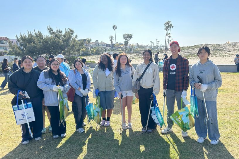
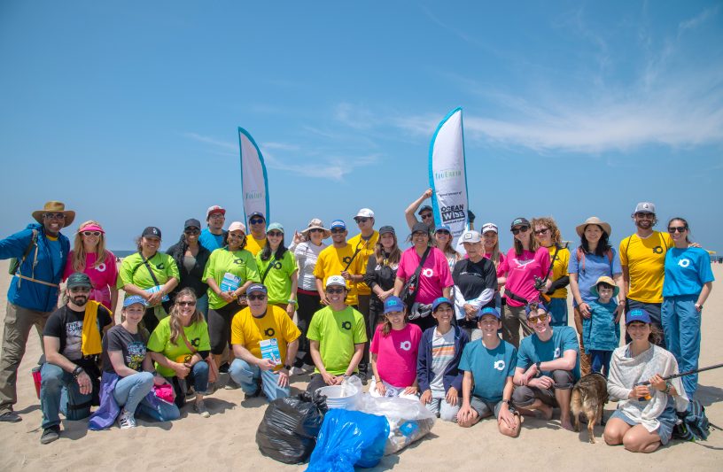
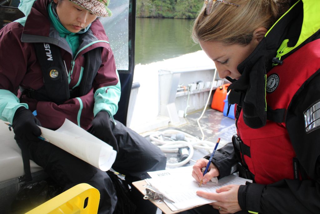
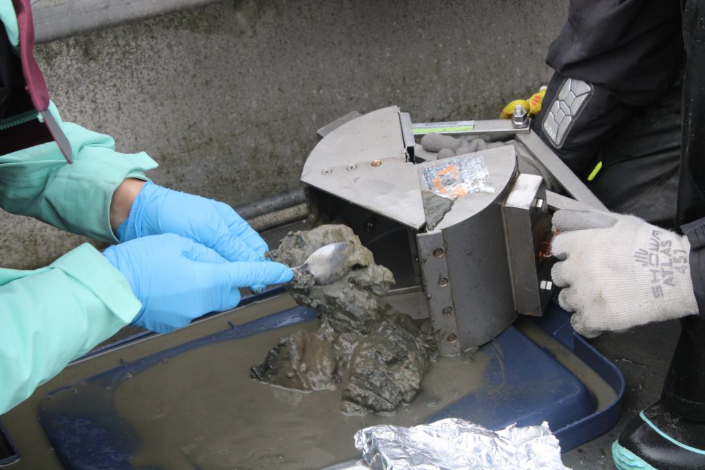
Pollution Tracker has made waves since its launch in 2015, working tirelessly to protect the health of our ocean and all who depend on it. By gathering data from sediment and mussel samples along the coast of British Columbia, Canada, Pollution Tracker has been able to document levels and trends of hundreds of contaminants. This valuable information helps answer the crucial question: how polluted is our ocean?
Phases of Research
Pollution Tracker’s research is divided into three phases:
- Phase 1: Completed in 2017
- Phase 2: Completed in 2020
- Phase 3: Completed in 2023
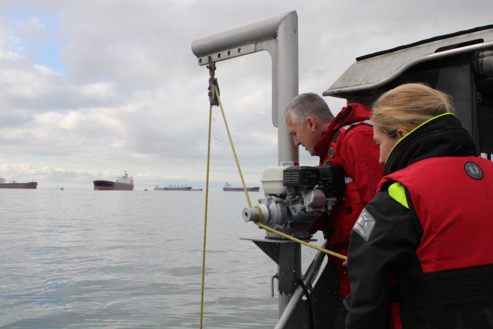
Sites were chosen to represent both remote and industrialized coastal areas, addressing the interests of various partners. Sediment and mussels were collected in collaboration with First Nations communities, port authorities, government agencies, and community groups, then analyzed in accredited laboratories.
Types of Contaminants
Pollution Tracker analyzed various contaminant classes:
- Tier 1: PCBs, PBDEs, metals, PAHs
- Tier 2: PFCs, alkylphenols, legacy pesticides, dioxins & furans
- Tier 3: TBBPA, HBCD, current use pesticides, PPCPs
Causes of Contamination
Contaminants in coastal BC reflect a mix of local inputs like stormwater runoff, wastewater discharges, industrial waste, and agricultural runoff. Historical operations, external inputs, and oceanographic factors also play a role.
Building a Healthier Coast
Pollution Tracker aims to provide high-quality, comparable, and accessible contaminant data to support a healthy coastal environment. Repeat sampling has built a long-term dataset that enhances our understanding of BC’s coast and helps identify contaminant hotspots. This dataset is a valuable tool for long-term chemical monitoring and ecosystem management.
A 10-year technical report can be accessed here and a summary of coast-wide Pollution Tracker results from Phase 1, 2 and 3 can be accessed here.
Acknowledgements
We would like to acknowledge financial support from our First Nations partners, including the Council of the Haida Nation, Gwaii Haanas National Park Reserve, National Marine Conservation Area Reserve, and Haida Heritage Site (Gwaii Haanas), Tsleil-Waututh Nation, Huu-ay-aht Nation, Nuu-chah-nulth Tribal Council, and Lax Kw’alaams Band, as well as Fisheries and Oceans Canada, Environment and Climate Change Canada, Vancouver Fraser Port Authority, Prince Rupert Port Authority, Neptune Terminals, Capital Regional District (CRD), and Metro Vancouver.
Posted August 20, 2025 by Cayley Elcombe